KK&P was commissioned in 2011 by Southside Community Land Trust, on behalf of a committee that had formed to create a statewide food policy council, to conduct the state’s first food system assessment. That research detailed the capacity of Rhode Island's food system, defined priorities for the soon-to-be-formed RI Food Policy Council and other stakeholders working to increase community food security, and identified gaps in the state's food system as well as assets that could be leveraged to fill those gaps.
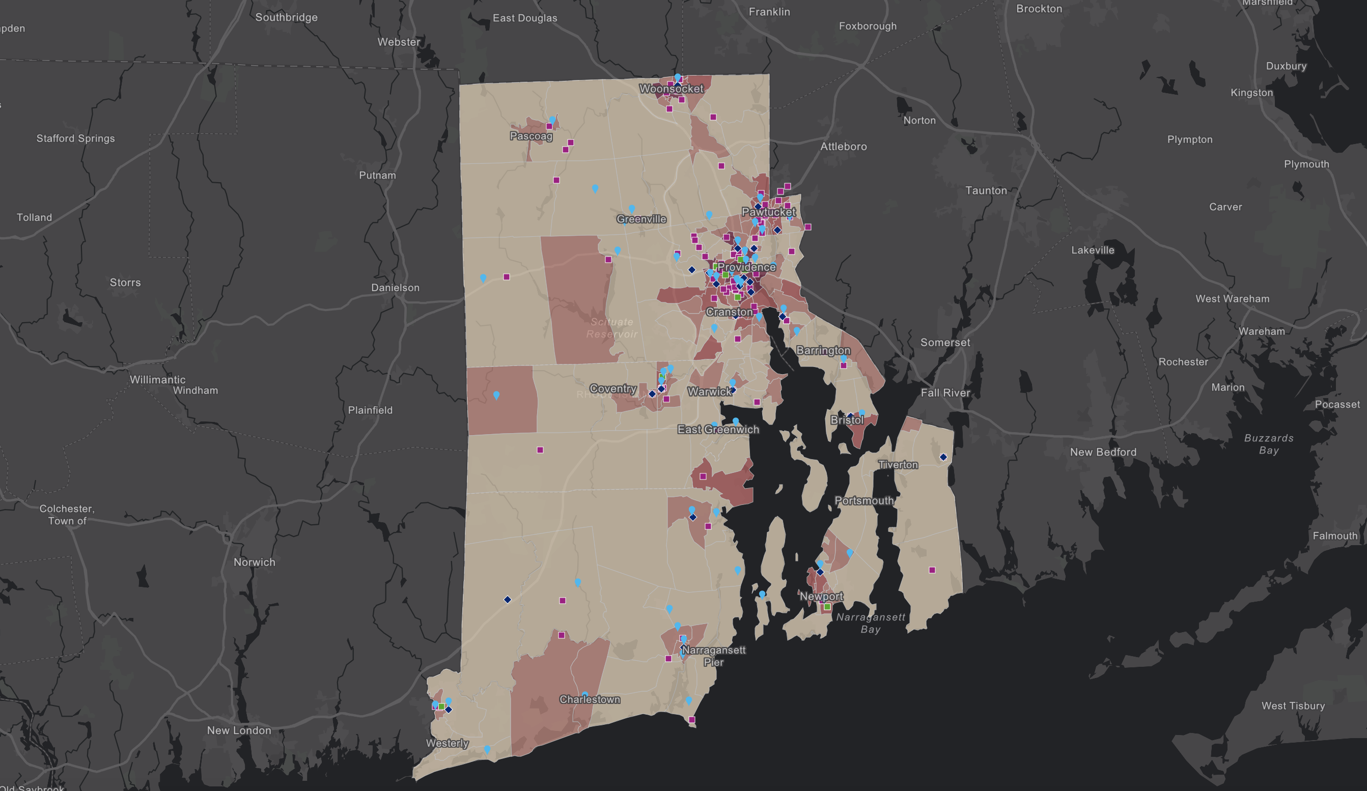
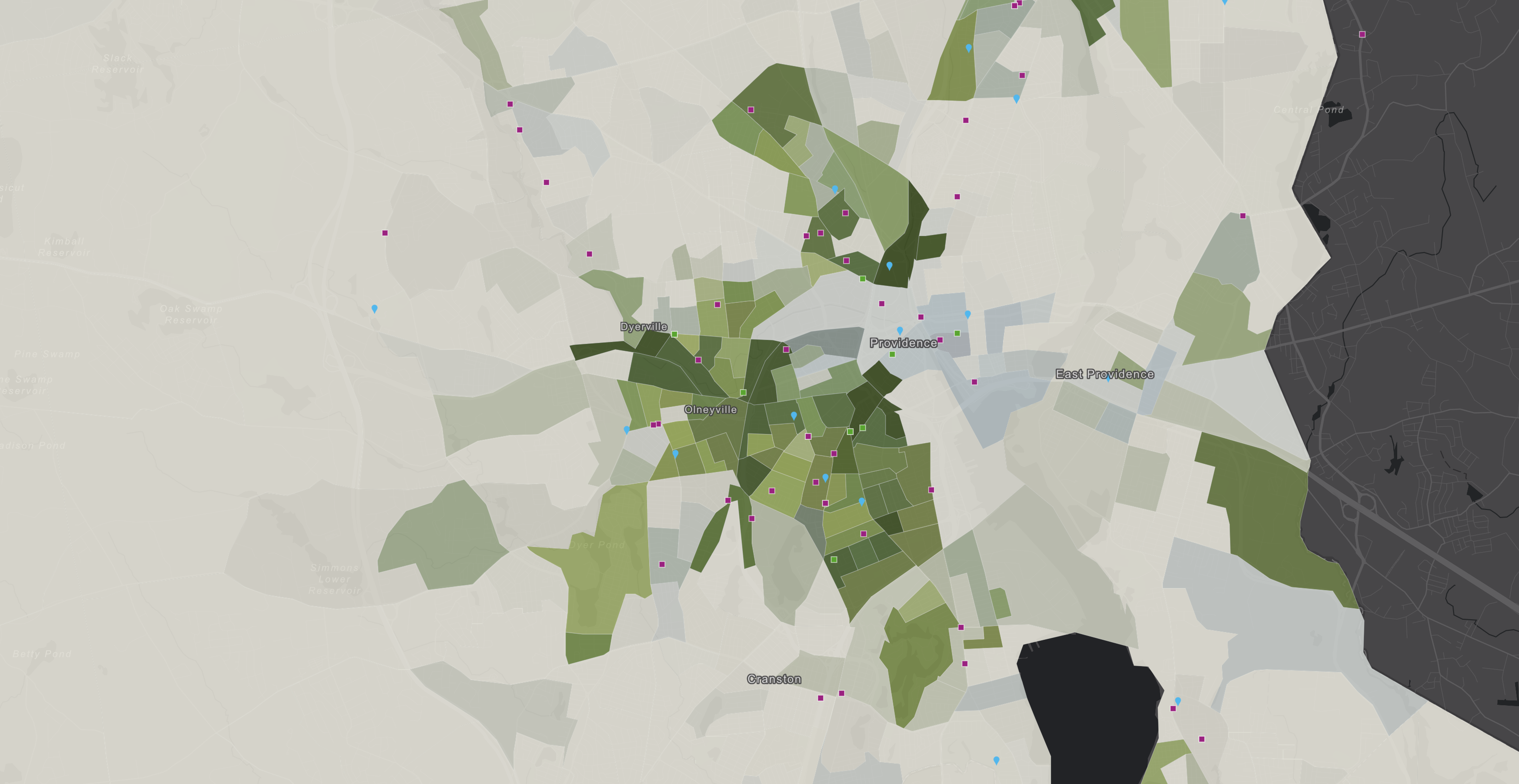
After a remarkable 5 years of organizational development and food system maturation and growth, the RIFPC again retained KK&P to update the 2011 assessment in anticipation of the hiring of the state’s first Director of Food Strategy. The 2016 food system assessment updated the quantitative data analysis, with a focus on public health, economic development, and the intersections between the two as they play into and play out in the state’s food system. A critical deliverable of that work was an interactive map-based food access tool and story map. Created using GIS technologies with data from sources including the American Community Survey, RI Department of Health, RI Community Food Bank, USDA, and RI Public Transit Authority, the tool visually integrated complex data sets into an intuitive, interactive map. The tool was designed to equip a range of users– including elected officials, practitioners, planners, researchers, and interested residents of the state– to interrogate, analyze, and interpret the data about how people and the food access resources they depend on were distributed across the state.
The assessments set a foundation for the next phases of local food system planning and growth, at the state, regional, municipal, community, neighborhood, and grassroots levels.